 Despite a Cold Day all around, TUESDAY saw ample amount of Sunshine allowing the Ice and Snowfall to melt across Middle TN and Southern KY. The final Snow Reports for KY are official. Central KY received the most in that Isol'd Heavier band from Leitchfield to Richmond.
** Here is the Current Radar as of 10PM Tuesday as the Front moves in with the Snow to our Northeast.

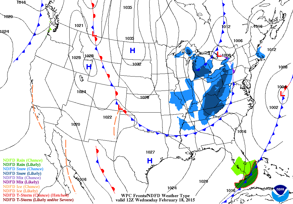
OVERNIGHT PM/ WEDNESDAY, however, will be our "next" Arctic Blast and this will be the Dagger so far this season, on top of our Snow/Ice on Monday and yes another round of Light snow for much of the Region.
So far, it looks like ~ 1-2" for much of KY and up to an Inch or so in Middle TN.

THURSDAY/FRIDAY will stay Cold for Highs and even for Lows on Thursday Night into Friday Morning.
** Unsettled for the Upcoming Weekend as we will experience a "new" system emerge again from Texas spreading moisture to the Northeast in the OH/TN Valleys once again. Right Now, looks to be not as extensive like the previous storm, but a mix of Snow/Sleet early could then lead into some Rain. Not expecting a large amount of Wintry Mix, but most of it will melt once the transition changes on SATURDAY. Both Models tonight so far, (GFS & NAM) got a good grasp of this storm.


-- Warm Air will advect in the Region keeping our Temperatures from the Mid Level to the Surface enough to provide Rain, AND so far the Low is forecasted to be in favor for us to see a rainy setup; as the Low will stay West of the Appalachians. --
No comments:
Post a Comment